Google Earth is one of the most successful GIS visualisation and interaction applications. The interface provides geo-referenced satellite imagery, which acts as a digital map, and users can perform geo-visualisation and pre-navigation operations. In the LOCUS project, we use the similar geo-referenced imagery to represent the topological information blended with geo-referenced 3D maps in a Virtual reality interface. To provide an alternative virtual reality representation I have imported one of LOCUS geo-referenced 3D maps into Google Earth by converting it from VRML to 3ds format.
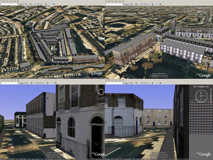
The above screenshot illustrates four different views of egocentric and exocentric visualisation in Google Earth. The presented 3D map is very close to City University Campus and it was generated to assist us understand some of the issues involved navigation and wayfinding. The same 3D map will be also used in the user-testing of the VR/Map LOCUS interface. The interface operates on windows mobile 5.0 devices and uses GPS and a digital compass to calculate position and orientation respectively. These data are then used to transform both the geo-referenced digital maps and the 3D maps accordingly and provide the means for user-friendly navigation and wayfinding.
More information about Google Earth:
http://earth.google.com
http://www.gearthblog.com
More information about Google Earth:
http://earth.google.com
http://www.gearthblog.com